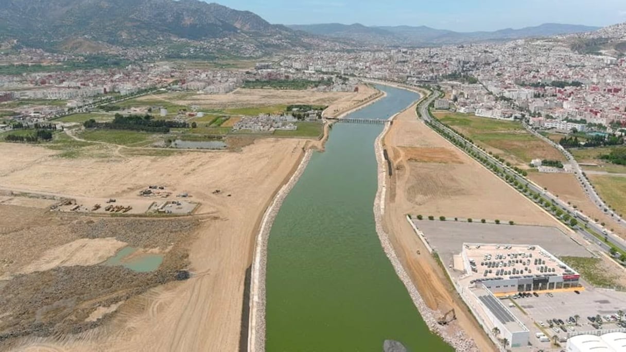
The field operations are part of an intervention program launched in mid-2025, under which the agency has focused on maintaining key waterways to prevent blockages that could hinder the natural drainage of rainwater during wet periods.
The work included clearing the Boussafo channel in the city of Tetouan along a stretch of nearly 2,200 meters, as well as cleaning the Mouklata channel over 4,000 meters to increase its drainage capacity.
New Contracts and Upgrading of a Section of the Martil River
Alongside these operations, the agency has launched the administrative process for awarding a 2026 contract for “dredging and reshaping waterways.” The move will allow maintenance work to continue on sections identified as priorities in Tetouan province.
Read also : Morocco’s water reserves rise 104% despite ongoing heatwave
The project is part of an engineering program launched by the agency in 2015 to protect the city. It includes the development of the Martil River channel along the section between the Tamouda Bridge and downstream from the Kuilma Bridge, based on studies that designed the dimensions of the waterway to accommodate and discharge what is known as the “100-year flood.” The design is intended to provide enhanced protection for urban areas along both banks.
Refining Hydraulic Data and Managing Dam Reservoirs
In a related development, the Loukkos River Basin Agency stressed the need for caution when assessing the findings of some studies circulating on flood risks in Tetouan. It explained that relying on a digital elevation model with a 30-meter resolution is not sufficient to produce realistic scenarios within a complex urban area, where small topographical differences can affect water flow patterns and the extent of flooding.
The water authority said accurate modeling of the Martil River requires direct hydraulic and field data covering the riverbed, cross-sections and engineering structures, particularly given the river’s permanent water flow. Any assessment that overlooks these factors, it said, remains limited to approximate estimates.
Read also : Sebou Basin to study new dam and sub-basin water interconnections
The agency also explained that a water depth of two meters does not in itself pose a danger unless it is assessed against the actual capacity of the engineered channel, which can accommodate flows reaching eight meters under normal conditions. It also pointed to the decisive role of the Cherif Idrissi Dam in Alia, noting that the management of its reservoir and water releases directly helps regulate inflows into the downstream basin and protect the city of Tetouan.