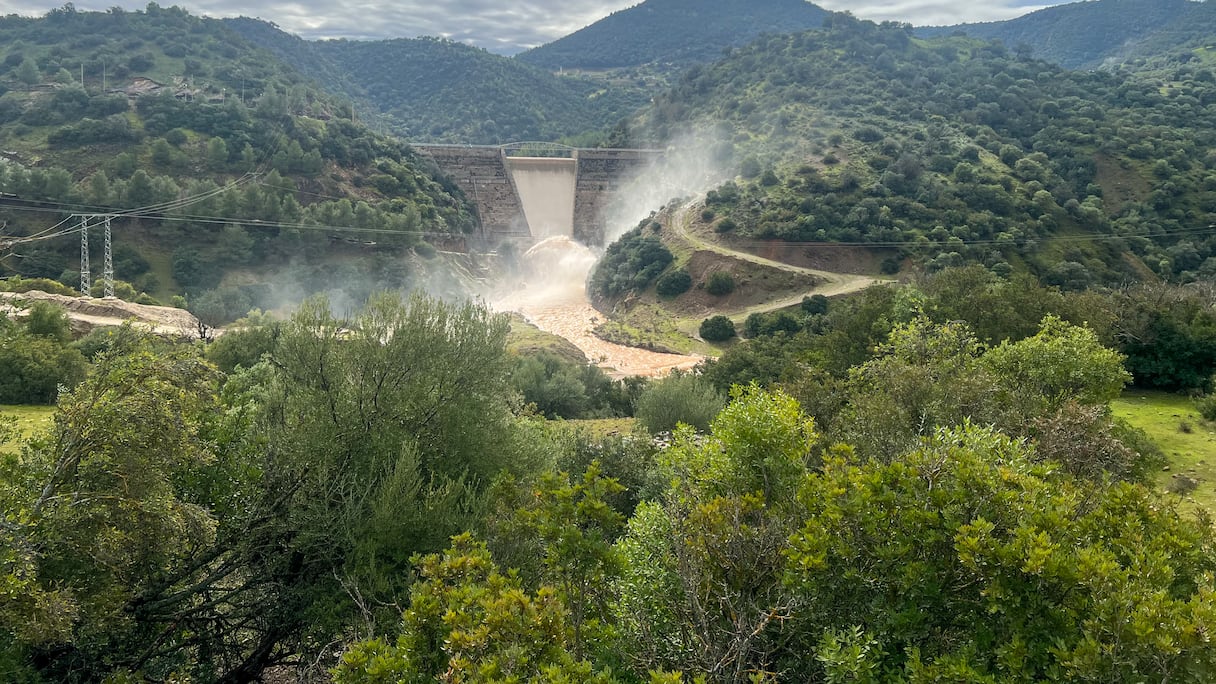
After one of the strongest rainy seasons in recent years filled reservoirs and forced releases at some of the country’s biggest dams, the water authorities are now setting out to establish how much of their stated storage capacity is actually left.
The Ministry of Equipment and Water is preparing fresh surveys of 10 reservoirs to measure the silt accumulated on their beds over the years and recalculate the volume of water they can hold, according to Al Ma Dialna, the ministry’s water platform.
The exercise will cost about MAD7.66 million and take eight months, covering Oued El Makhazine, Al Wahda, Chefchaouen Idrissi, Nakhla, Mansour Eddahbi, Hassan Addakhil, Ghiss, Mohammed V, Oued Za and Mechraa Hammadi dams.
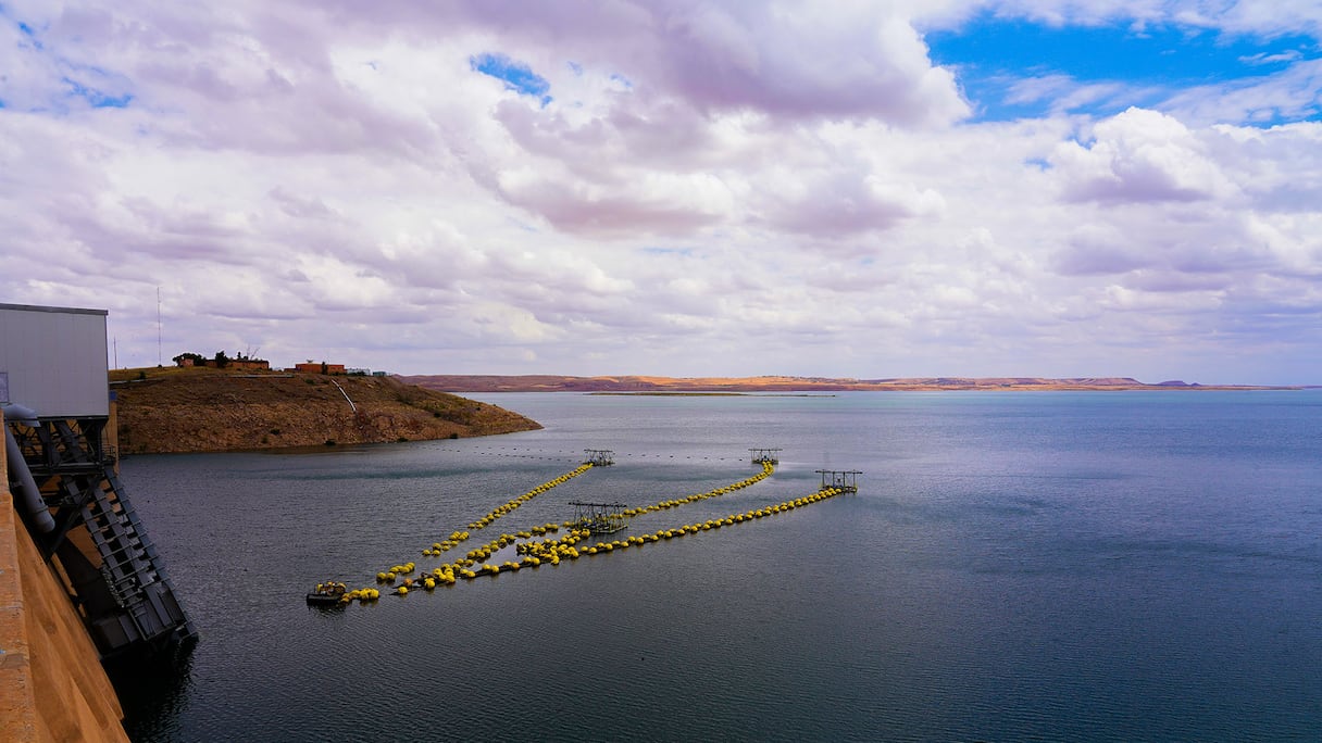
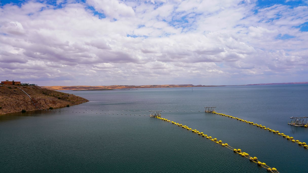
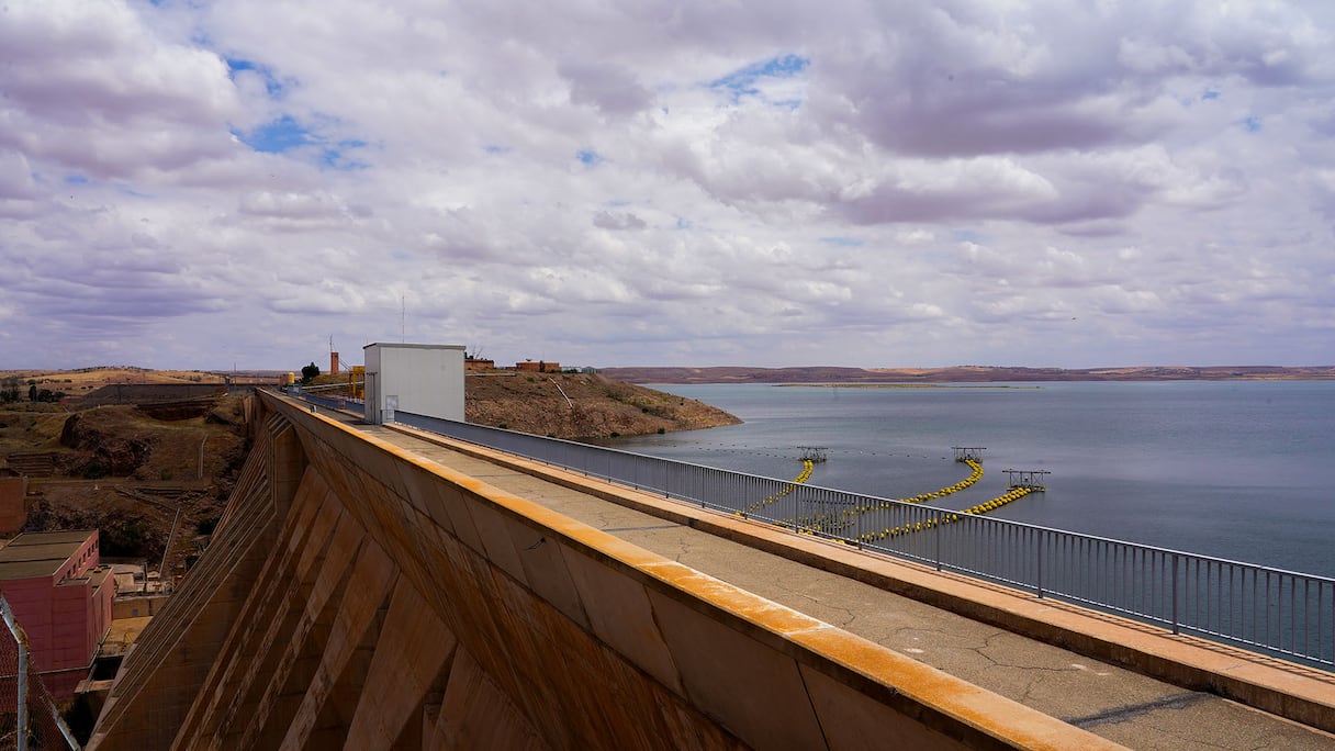
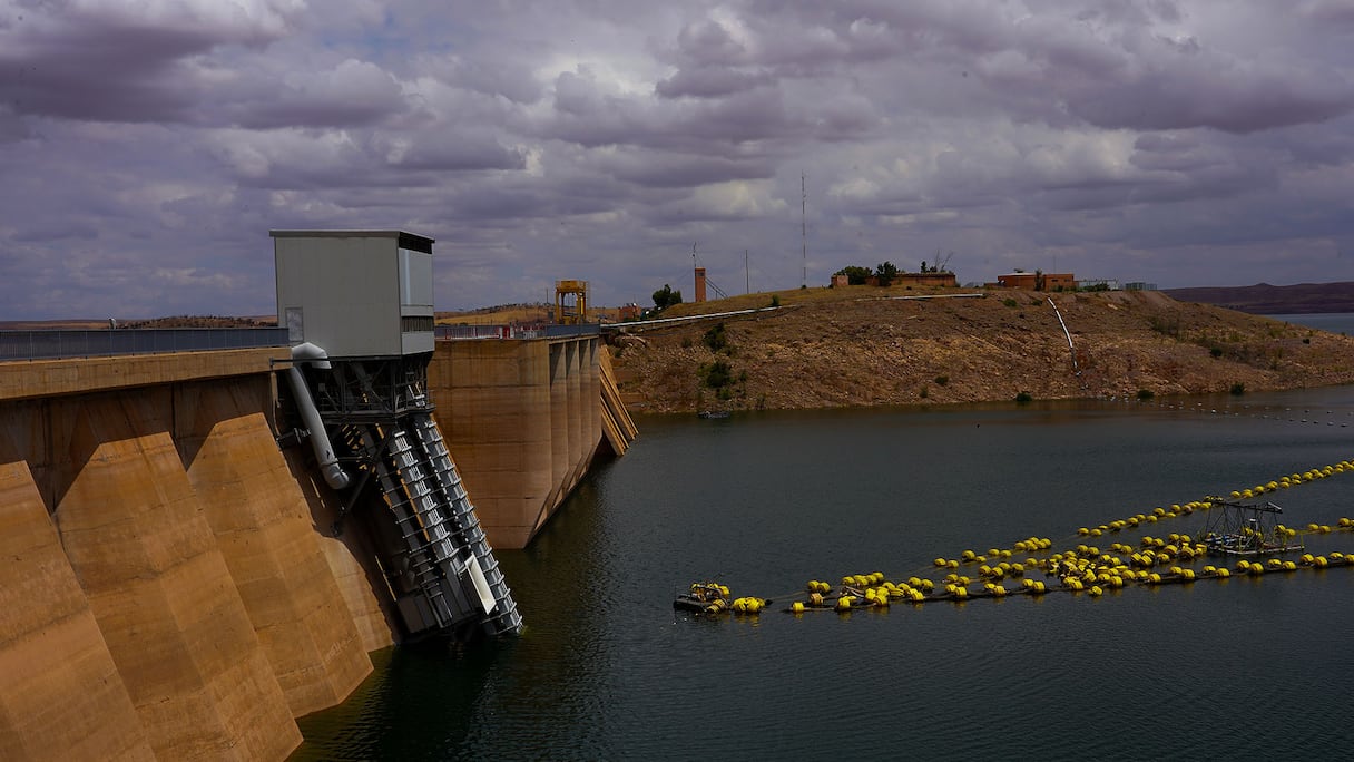
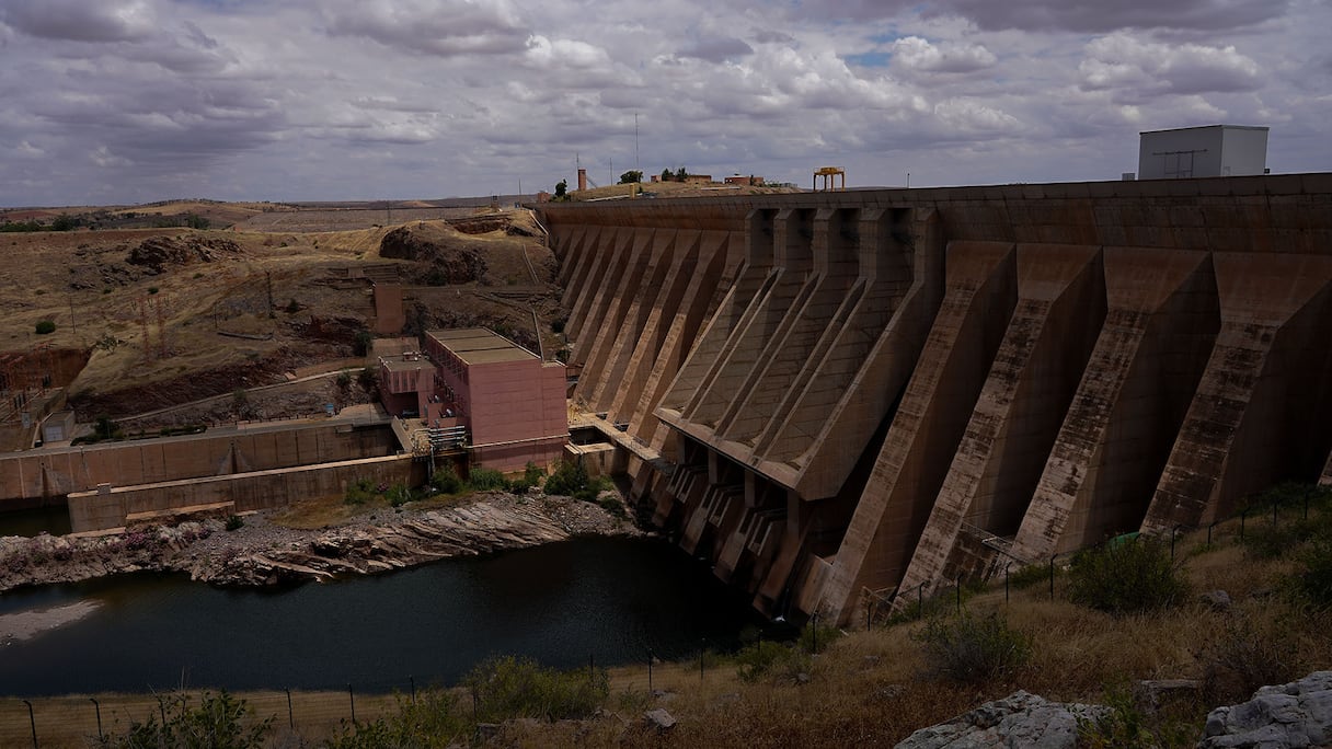
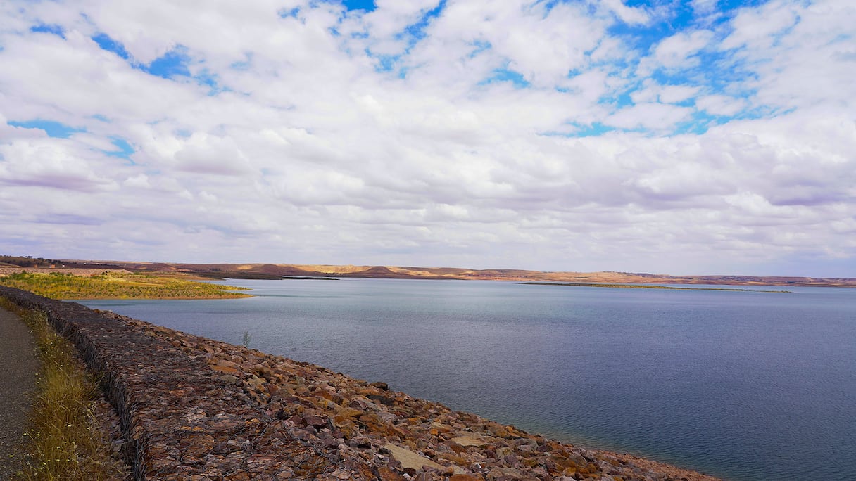
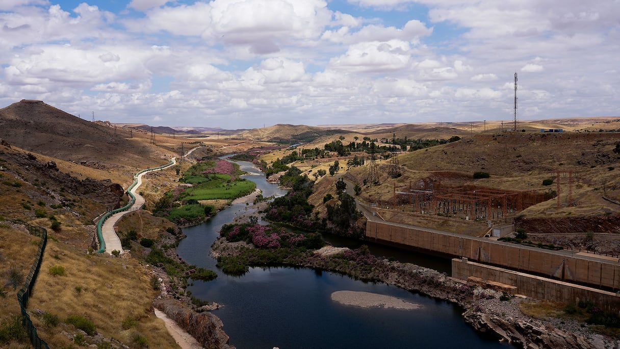
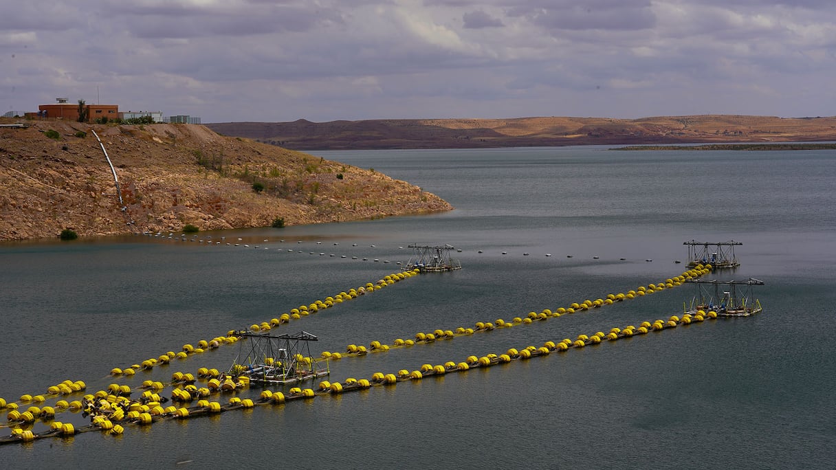
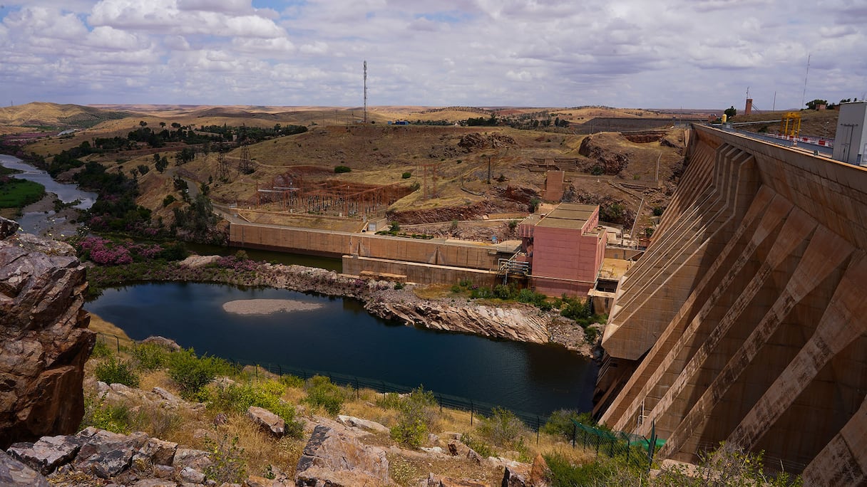
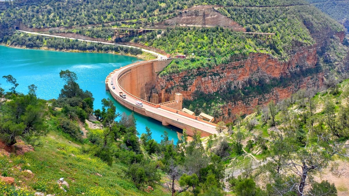
Al Massira Dam. (K. Essalak/Le360)
The survey comes after a water year that sharply changed the picture at the country’s reservoirs. Dams received about 5.829 billion cubic meters between Sept 1, 2025 and Jan 28 this year, including 5.407bn cubic meters in just over six weeks between Dec 12 and Jan 28.
The national filling rate, which stood at 31.1pc on Dec 12, had climbed to 75pc by May 28.
At Oued El Makhazine in Larache province, the reservoir went beyond its normal capacity from Jan 6 and the water rose four meters above the highest level recorded since the dam entered service in 1972. No unusual problem was reported in the structure or its equipment.
The dam is listed with capacity of about 672.8m cubic meters. What the new survey will seek to establish is how closely that figure still reflects the space available in the reservoir after decades of sediment deposits.


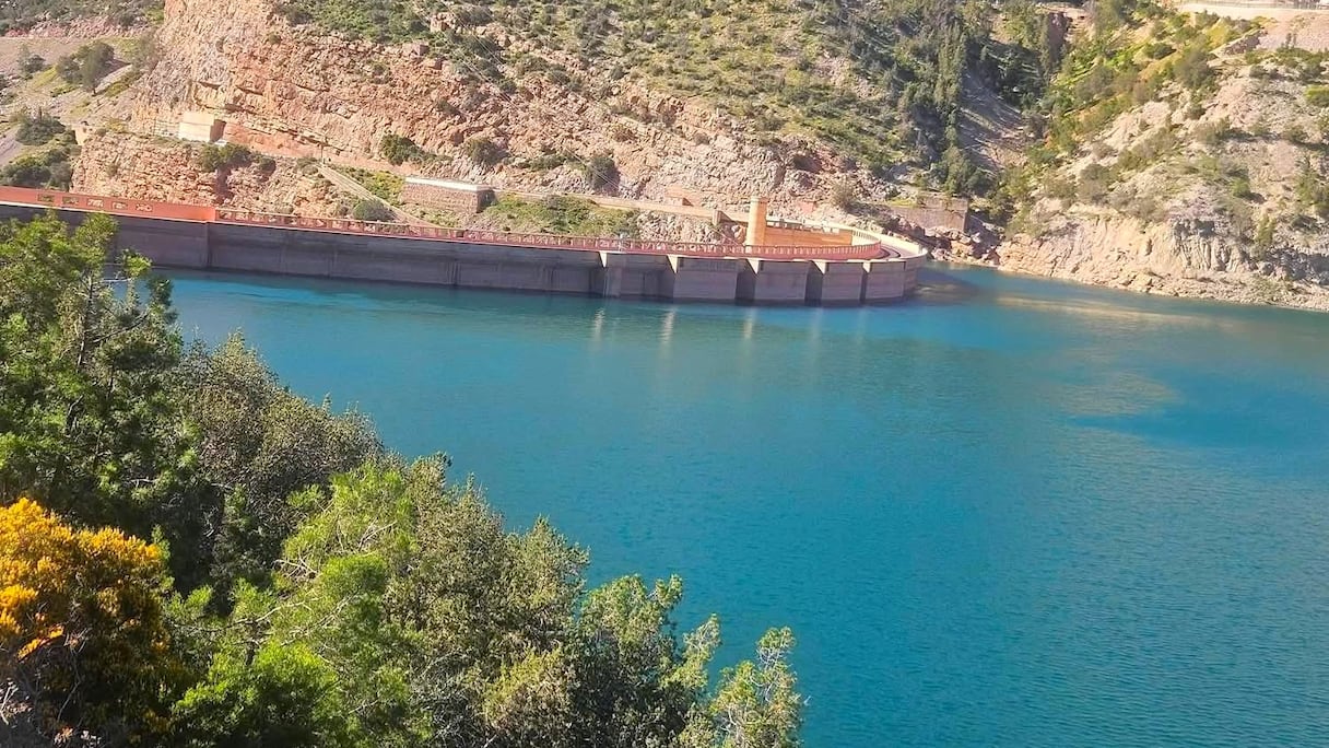
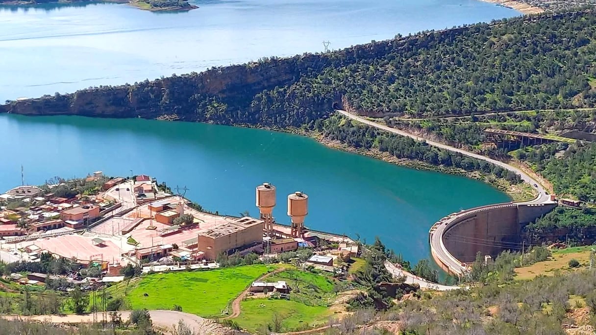

le360
The same question applies on a much larger scale at Al Wahda Dam on the Ouergha River.
With listed capacity of more than 3.52bn cubic meters, Al Wahda received about 3.809bn cubic meters of water between Sept 1 and Feb 14—169 pc of the inflows of an average year. By Feb 13, it was 93.56pc full and releases were being made to leave room for more water.
Silt carried into reservoirs by rivers and runoff settles on the bottom and builds up over time, taking away space that would otherwise hold water. The capacity shown against a dam can consequently differ from what the reservoir is capable of storing years after it was built.
That loss is to be measured through bathymetric and topographic surveys of the reservoir beds. Depths, surface areas and volumes will be recorded and compared with earlier measurements to see where sediment has gathered and how much space it now occupies.
The work will also produce fresh storage curves linking the water level in each dam to the volume actually held behind it.
Read also : Beni Azimane Dam reaches 98% completion ahead of December opening
In the Loukkos basin, Chefchaouen Idrissi Dam, with listed capacity of about 121.6m cubic meters, and Nakhla Dam, at just 4.21m cubic meters, will be surveyed alongside Oued El Makhazine.
Mansour Eddahbi Dam on the Draa River and Hassan Addakhil on the Ziz are also covered, as are Ghiss, Mohammed V, Oued Za and Mechraa Hammadi in the Oriental.
Chefchaouen Idrissi and Ghiss will undergo additional modelling to track how runoff, soil erosion and sediment move through their watersheds. The work will use rainfall, temperature, wind, humidity, land-use and topographical data as well as high-resolution satellite imagery.
Read also : Sebou Basin to study new dam and sub-basin water interconnections
The ministry has divided the assignment into two lots of five dams each.
About MAD4.86m has been earmarked for Oued El Makhazine, Chefchaouen Idrissi, Nakhla, Al Wahda and Mansour Eddahbi, while another MAD2.80m will cover Ghiss, Mohammed V, Oued Za, Mechraa Hammadi and Hassan Addakhil.
Once the surveys are completed, the authorities will have new figures for the capacity lost to silt and the usable storage remaining in each reservoir—data that will feed into decisions on future inflows and measures to limit further sedimentation.