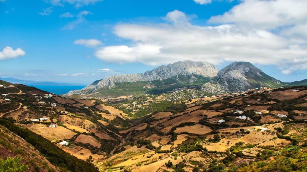
What did Belyounech look like during the Middle Ages? How did its inhabitants live? Did they produce their own food and manage their water resources? A new archaeological campaign, due to begin in September 2026, will seek to answer these questions.
Preparatory work has already begun. According to the Ministry of Youth, Culture and Communication, a preliminary mission was carried out from July 27 to 31 to prepare for the upcoming excavations. The teams conducted topographical surveys to map the site and the remains still visible.
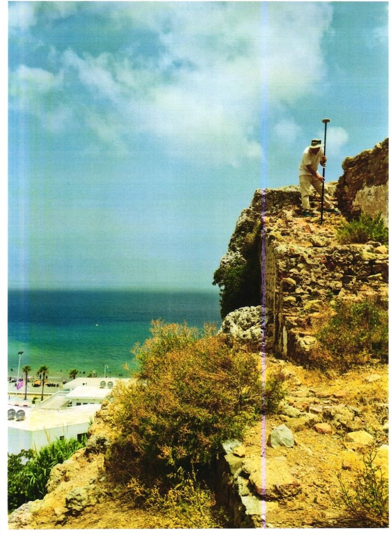
The mission is part of scientific cooperation between the National Institute of Archaeological Sciences and Heritage (INSAP), under the Ministry of Youth, Culture and Communication, and the German Archaeological Institute (DAI) in Madrid. It is co-directed by Professor Asmae El Kacimi of INSAP and Professor Felix Arnold of the DAI.
From September, researchers will open new excavation areas and document existing remains. Their work will focus on houses, gardens, agricultural areas and baths. The aim is to gradually reconstruct the layout of the settlement and better understand the daily lives of its inhabitants.
A strategic port in the Middle Ages
Belyounech is of particular interest to archaeologists because of its strategic location on Morocco’s northern coast. Mentioned as early as the eighth century under the name “Marsa Musa,” its port served as a base for military expeditions toward Al-Andalus. Over the centuries, Belyounech also became an important maritime stopover.
The site reached its peak under the Almohads and Marinids. During this period, Belyounech was more than a maritime stop. It also served as an agricultural hinterland for Ceuta, supported by its water resources and crops grown on terraces.
Water is one of the main areas of focus of the new research. Archaeologists will study the “saqiya,” canals used to carry water to agricultural land and other parts of the site.
The water system was extensive enough to supply the area. In 1184-1185, Caliph Abu Yaqub Yusuf ordered improvements to Belyounech’s hydraulic network to bring water to Ceuta.
Researchers will also examine the “munya,” residences built around gardens and agricultural land. Studying them should help researchers better understand the organization of residential areas and their links to agricultural activities.
A settlement with 24 estates and 19 mosques
Historical sources already indicate the importance Belyounech had acquired during the Middle Ages. At the beginning of the 14th century, historian al-Ansari al-Sabti described a settlement with 24 estates, 19 mosques and 16 ovens. He also mentioned warehouses on the beach and several fortified towers.
The city included residential and religious areas, agricultural land, production and food-related facilities, as well as infrastructure linked to its maritime activity and defense.
Building on the first excavations
The September campaign builds on research carried out at Belyounech since the 1970s under the direction of Professor Joudia Hassar Benslimane. Her work helped establish the archaeological importance of the site and paved the way for further research.
Archaeologists now have access to additional methods and tools to continue exploring the site. The upcoming work will combine several disciplines and use modern technologies for analysis and spatial documentation.
Following the initial surveys carried out in late July, researchers will continue exploring the vast site at the foot of Jbel Moussa. The aim is to build a clearer picture of Belyounech from its surviving remains, shedding light on a period when its port, agricultural land, homes and water system made it a major site in the region.