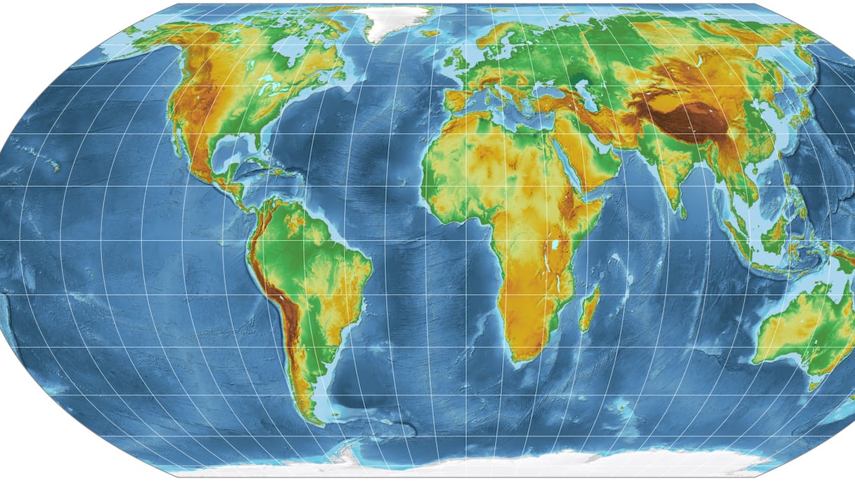
The resolution promoting the Equal Earth projection was adopted Friday with 164 votes in favor, one against and six abstentions. The United States was the only country to vote against it.
The Equal Earth projection, developed in 2018, better preserves the relative size of land masses than the widely used Mercator projection. Created in 1569 for navigation, the Mercator map enlarges regions near the poles while making areas closer to the equator appear smaller.
The distortion is striking in the case of Africa. The continent is about 14 times larger than Greenland, although the two can appear similar in size on a Mercator map.
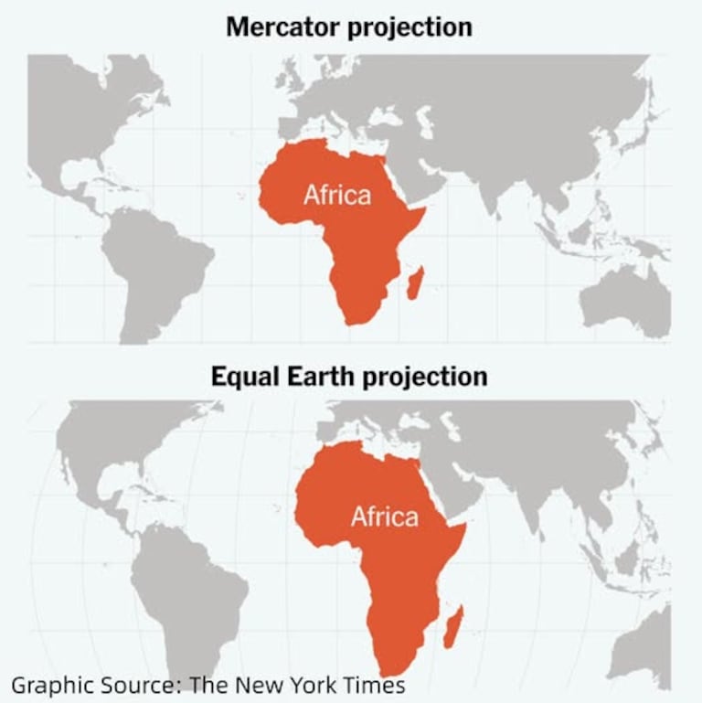
Togo led the initiative as part of an African Union campaign to promote more accurate representations of the continent. “A fair world begins with a fair map,” Togo’s Foreign Minister Robert Dussey told Reuters ahead of the vote.
The resolution is not legally binding and does not prevent the continued use of the Mercator projection for maritime and aerial navigation, where it remains useful. Togo plans to introduce the Equal Earth projection into its school geography materials by the end of 2026.